I spent June 2012 at ITP Camp in New York. During that month I kept track of my whereabouts using OpenPaths, a free smartphone app from The New York Times.
OpenPaths doesn’t record your location continuously, it only takes occasional snapshots of where you are. Continuous usage of the GPS drains a phone battery very fas, that’s why. I believe that iOS can notify an app when the location has ‘significantly’ changed, and I think that’s what OpenPaths is using. From my experience the results are not always predictable, so the data is more a general picture of where you were rather than a detailed history.
The default way of representing OpenPaths data is by placing each tracked location on a map and connecting them with lines (as seen for example on the OpenPaths homepage). For me this is slightly problematic: just because I was at one location first, and at second one later doens’t mean that I travelled in a straight path from the first to the second. I was also interested in moving away from the typical Google Maps way of showing location data.
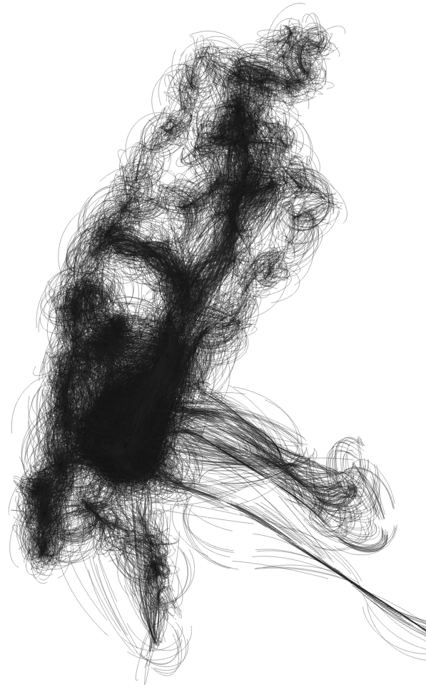
In this approach I used a particle system that traces my journeys trough lower Manhattan. The particles are attracted to the locations in my history, resulting in a more organic view of where I went during those 35 days (versus connecting points with straight lines).
The heavy black parts indicate where I spent most of my time: in and around ITP’s building on Broadway.
Tools used
Processing, particle systems, forces
